Angola launches AI-Powered Digital Platform for Mangrove mapping and monitoring
Date: 2026-02-02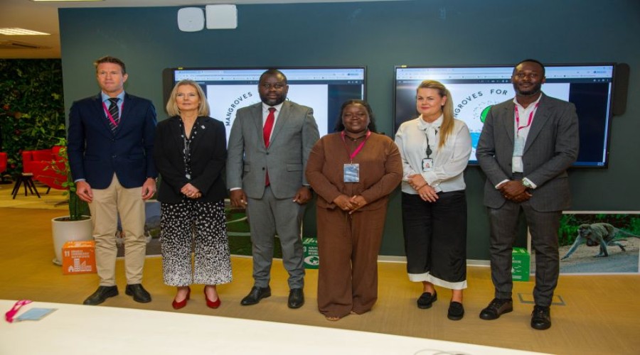
By: Nana Appiah Acquaye
Angola
has presented a new digital platform that uses artificial intelligence and
satellite imagery to map and monitor mangrove ecosystems across the country.
The
Digital Platform Maps of Mangroves of Angola was unveiled, in Luanda during a
presentation held at the headquarters of Equinor. The platform is the result of
a partnership between the National Space Program Management Office (GGPEN), the
Otchiva organization and Equinor, and was developed by specialists from GEDAE –
the Geodata Center.

The
tool provides precise mapping of Angola’s mangrove areas and integrates
satellite data with artificial intelligence to support environmental monitoring
and conservation efforts. It consolidates data collected under the “Mangroves
for Tomorrow” project, enabling the mapping of approximately 43,000
hectares of mangroves across seven provinces, alongside detailed biodiversity
information.
The
platform also allows users to track changes in mangrove coverage over the past
five years, offering insights into environmental trends and the impact of
conservation measures.

The
launch event was attended by the General Manager of GGPEN, Zolana Rui João, the
CEO and founder of Otchiva, Fernanda Renée, Equinor’s Senior Vice President and
Head of Operations for Africa, Nina Birgitte Koch, and the Norwegian Ambassador
to Angola, Bjørnar Hotvedt.
The
digital platform represents one of several initiatives emerging from the
strategic collaboration between the partner institutions. The entities involved
said they will continue working together to enhance the platform and develop
additional projects aimed at strengthening environmental preservation and
sustainable ecosystem management in Angola.