By: Robert Annor
The
Regional Centre for Mapping of Resources for Development (RCMRD) is hosting a
delegation from Zambia for a four-day technical visit aimed at strengthening
collaboration on land information management and the integration of spatial
data into national land administration systems.
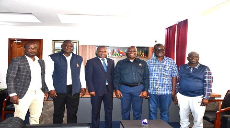
The
delegation from the Smart Zambia Institute is led by the Commissioner of Lands
at the Ministry of Lands and Natural Resources, Mr. Shadreck Mbewe, and is
accompanied by Zambia’s Surveyor General, Eng. Charles Pole. The visit is
focused on enhancing cooperation on Land Information Management Systems and
exploring practical approaches to embedding geospatial components within
Zambia’s National Land Information System.
As
part of the programme, the visiting officials are being introduced to RCMRD’s
mandate, technical services and its regional role in advancing the use of
geospatial technologies to support sustainable development across Africa.
During
a tour of the RCMRD Data Office, Eng. Pole commended the Centre for its
contribution to Zambia’s land administration efforts, particularly the
provision of high-resolution satellite imagery used by the Ministry of Lands
and Natural Resources to support the reaffirmation of boundaries between Zambia
and Malawi.
The
RCMRD Data Office is responsible for the acquisition, archiving and management
of geospatial data and continues to serve as a critical resource for
governments and institutions across the region, enabling access to reliable
spatial information for evidence-based planning and decision-making.
The
technical visit underscores the growing importance of regional cooperation in
strengthening land governance systems and leveraging geospatial data to support
national development priorities.