By: Nana
Appiah Acquaye
The Committee on Earth
Observation Satellites (CEOS) has called for stronger collaboration,
higher-quality Earth observation (EO) imagery and improved ground-truth
datasets to support the effective use of satellite data in disaster risk
management.
The issues were discussed
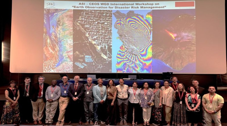
during a meeting of the CEOS Working Group on Disasters (WGDisasters) held in
Rome, Italy, last week and hosted by the Italian Space Agency (Agenzia Spaziale
Italiana).
Alongside the regular
WGDisasters meeting, CEOS convened a workshop that brought together CEOS
agencies and members of the international scientific, institutional and
industrial community working in disaster risk management.
Participants highlighted the
need for EO imagery to be of high quality and fit for purpose to ensure that
satellite-derived information can effectively support disaster-related
decision-making and operations.
The discussions also
identified the need for more accurate and geographically distributed
ground-truth information and benchmark datasets to strengthen the reliability
and usefulness of EO applications for disaster risk management.
CEOS also emphasised the
importance of closer collaboration between data providers and end users. Such
cooperation, it said, should help ensure that services, platforms and tools are
co-designed around the practical needs of those using Earth observation
information in disaster risk management.
The meeting further
highlighted capacity building as an important requirement for the wider
adoption of EO data. Focused training and capacity-building initiatives are
needed to help integrate Earth observation data into operational workflows and
ensure that users have the skills required to apply the information
effectively.