By: Nana Appiah Acquaye
The South African National
Space Agency (SANSA) and the Limpopo Office of the Premier have strengthened
collaboration on the use of geospatial technologies to support evidence-based
planning, decision-making and public service delivery.
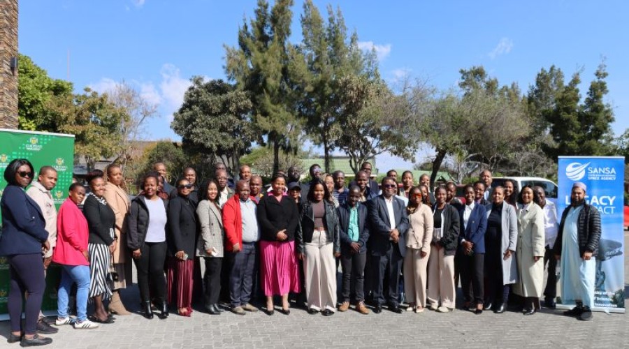
The two institutions hosted
a Geographic Information System (GIS) Forum on July 30, 2026, at Bolivia Lodge
in Polokwane, Limpopo, bringing together government officials, GIS
professionals, researchers and decision-makers to explore the role of Earth
Observation (EO) technologies in addressing provincial development priorities.
The forum provided a
platform for stakeholders to exchange knowledge, showcase innovative geospatial
solutions and discuss opportunities for collaboration in using satellite-based
data to improve planning and resource management.
Discussions focused on how
geospatial technologies can support key areas including disaster management,
environmental monitoring, infrastructure development, water resource management
and the delivery of public services.
SANSA highlighted the
importance of partnerships between government institutions, researchers and
technology stakeholders in leveraging space-based information to address
socio-economic and environmental challenges.
During the event, the agency
showcased a range of Earth Observation products and services designed to
support government planning and decision-making.
These included SANSA’s
High-Resolution Sensor Portfolio, the South African Earth Observation System of
Systems (SAEOSS) Portal and the recently launched Earth Observation
Intelligence Decision Support Tools (DSTs).
The solutions provide access
to satellite-derived information that can assist government departments and
stakeholders in monitoring changes, managing resources and making informed
policy decisions.
SANSA said the collaboration
with the Limpopo Office of the Premier demonstrates the growing importance of
space-enabled technologies in supporting sustainable development and improving
government efficiency.